Distance Across North Africa and Europe

I did a little experiment and wanted to know the distance from East to West in North Africa. As a flat earther, we know that the countries that are closer to the equator onward to the Antarctica are made to look smaller. When, in reality they are larger. So, did some research on an AI platform. Here is what I typed in.
Question:
What is the name of the city in the western most city in northern Africa and what is the name of city in the most eastern part of northern Africa. this is measuring the widest part of the continent. and give the name of the country they are in, too.
Answer:
The westernmost city in northern Africa is Tangier, Morocco. The easternmost city in northern Africa is Alexandria, Egypt. Both cities are located in their respective countries, Morocco and Egypt.
Question:
What is the distance between these two cities?
Answer:
The approximate distance between Tangier and Alexandria is 1,400 kilometers (870 miles).
Question:
What is the distance between Seville Spain and Lebanon?
Answer
The approximate distance between Seville, Spain and Lebanon is 2,735 kilometers (1,698 miles).
Now, we know that if you travel south in a straight line, from Spain or Portugal, we come to Morocco. Lebanon, of course, is a little further east than Egypt (on a globe map).
Now, look at the miles again that were given for northern Africa and the southern part of Europe. AI, which uses the politically acceptable figures, tell us that Europe is much wider (nearly twice). When, in fact, it’s probably the other way round.
I was thinking about this yesterday, which made me search for the distance today.
When you look at a ball, the lines curve in. with the lines curving in, the countries in the south will have to be made smaller to accommodate the countries. But with the earth really being flat, the line of travel going south would become further apart – if you take two points at the same latitude. On a globe, the two line would be further apart until you get to the equator. While on a flat surface, the mid-way line, the two lines would only increase in distance relative to each other. Just think of the spoke on a bicycle wheel.
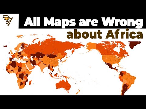
Here is a video that help illustrate the point of the true size of the countries and continents of the world. But in the last half of the video is where some bull comes in. This guy talks about geopolitics and claims, or at least insinuates, that the norther countries (meaning White countries) colonized the southern countries by making the world think that we are larger, and, therefore, were able to control these African nations. Such talk is nonsense, but that would take a lengthy article to explain why, and it would be “politically incorrect”. Just let me say it is with our minds, and the weapons we created that enabled this, just to name two points.
So, I’ll leave it at that. Otherwise, the first part of the video gives a good explanation. What the narrator doesn’t know is that the earth is flat and that is why we have an inaccurate map today.
This article has been archived for your research. The original version from Christian Flat Earth Ministry can be found here.


