Image shows radar antennae not ‘weather control’ structure

A photo of two white domes is being shared with misleading captions implying it is connected to artificial weather manipulation.
The image has been shared on Facebook hundreds of times with the caption: “Control the Weather, Control The World.”
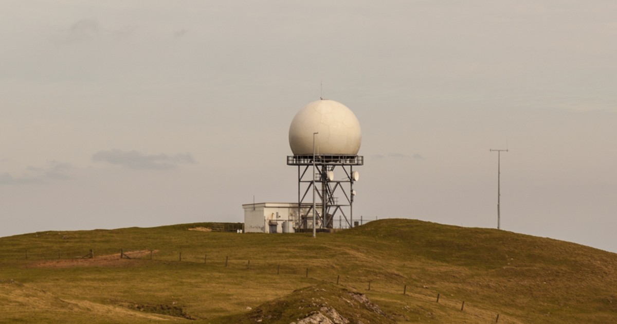
It shows two large white orbs, mounted on small cabins, with geometric shapes marked on them.
While the social media posts imply that these are connected to controlling the weather, they actually have no purpose in relation to weather manipulation or geoengineering.
The Met Office defines geoengineering as the “deliberate large-scale manipulation of climate”, which includes measures that could be deployed to alter climate systems to tackle some aspects of global warming.
While weather modification does already exist in the form of cloud seeding, which can be used to generate rainfall or snow, geoengineering is not currently happening in practice outside of small-scale experiments.
The image shows a pair of ‘radomes’ (a portmanteau of radar and dome) which are the structures created to protect radar antennae from bad weather conditions, while simultaneously allowing signals to be received and passed from the radar dish inside.
They appear to be a pair of radomes containing radar antennae used for Air Traffic Control that were on the top of the Rock in Gibraltar until April 2024, when one was dismantled leaving only one so-called ‘golf ball’ on the site.
Radar stations are used for a variety of purposes, including in aviation, weather forecasting, navigation, and surveillance systems.
While radar is frequently used to analyse weather, such as to forecast, and predict the structure and severity of storms, it cannot control weather conditions.
Weather radar works by sending out pulses of microwave radiation, and then detecting the return signals reflected by particles of water, whether as rain or frozen as snow, hail or sleet. Together with rain gauges on the ground, this is used to give measurements about precipitation.
We have written a number of times about online misinformation regarding geoengineering, and images which are falsely claimed to show evidence of manipulation of weather conditions. It’s important to consider whether what you see online is accurate before sharing, and our toolkit for spotting misinformation can help you do this.

